Explore the future with our new 3D Maps at Port Phillip
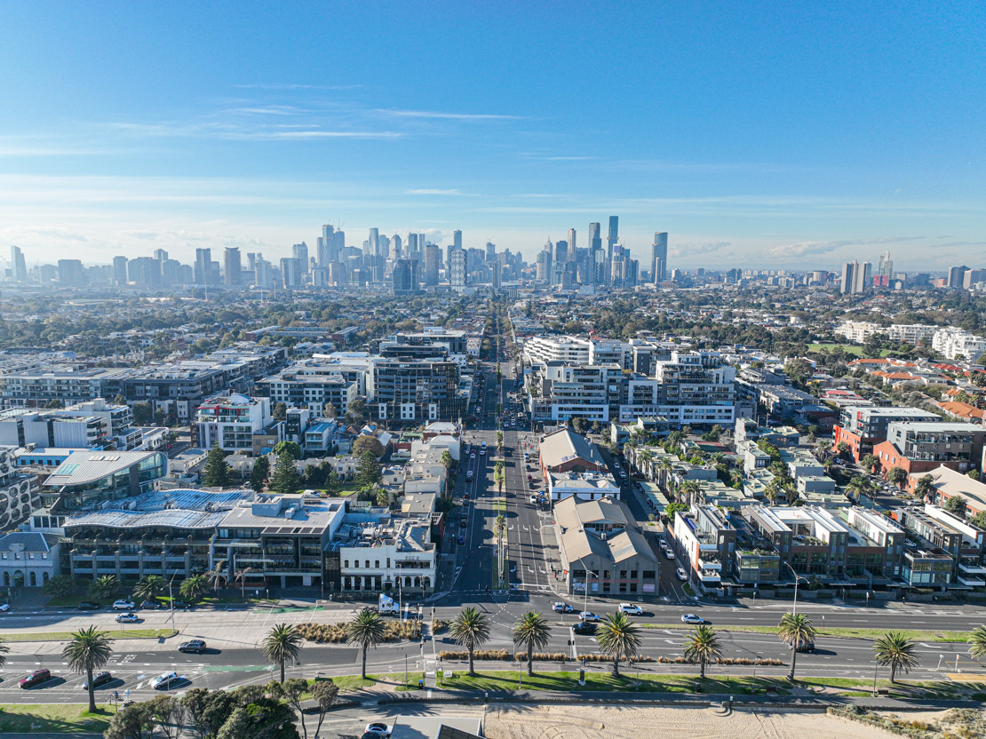
Thanks to the Digital Funding Grant from the Victorian Government’s Department of Transport and Planning, we’ve been able to fund the purchase of 3D Building Models for the entire municipality and deliver the 3D Maps for some residential planning applications. We are working to update the map with applications and models for mixed use and commercial developments.
Along with existing buildings, you can see some of our planning permit applications that are in process and those that are approved for development.
With this map, you can:
- navigate through 3D representations of Port Phillip and see how future residential developments over two storeys will integrate with the current landscape
- see the level of development activity in context and the location, height and scale of future buildings
- zoom in and out and move through the virtual environment to get a sense of how new residential developments over two storeys will shape our community
- stay informed about the latest planning approvals by linking through to the Planning Application Register.
Whether you’re a resident curious about local changes or an investor looking for insights, the 3D Maps for planning applications is your gateway to understanding the evolving cityscape of Port Phillip.
It’s like Google Earth, but some of the buildings don’t exist yet!
Visit Development Activity Model (portphillip.vic.gov.au) and enter the interactive 3D world of our City.